
Objectives

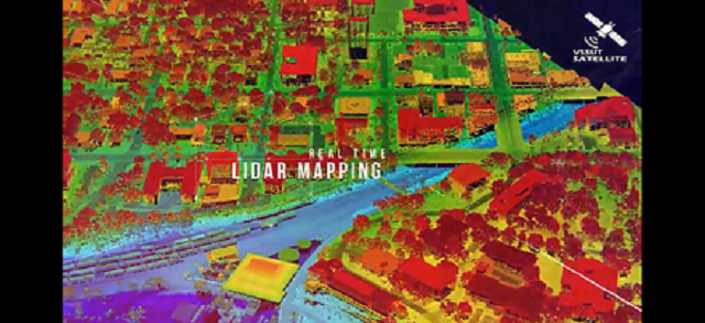
Siltation Monitoring
Siltation levels on the dam, the primary objective of the Picosat - to monitor and make sure the dam is not under unsafe structural loads and to facilitate the silt retrieval process.
Agricultural Contour Mapping
The Mapping of the contour of nearby agricultural lands and recording of relevant data to help farmers in preventing soil erosion during irrigation.
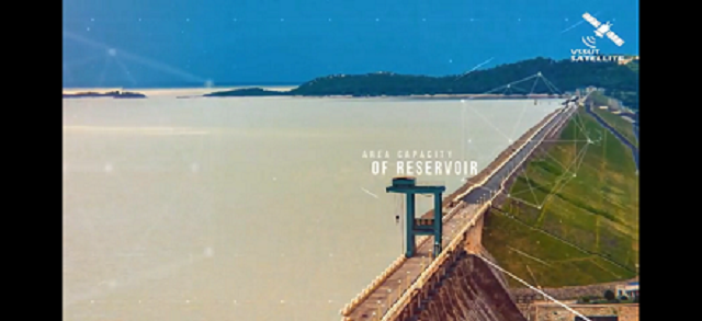
Area Capacity Monitoring
The real-time water level at the upstream heel for predicting the dangers of flood, based on the data being recorded such as inflow rate, which is based on the increment observed on a day to day basis.
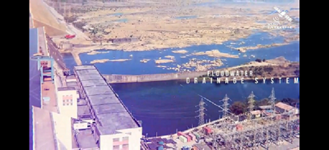
Flood Water Drainage System
When water in the dam gets close to the UHWL(Upstream Highest Water Level), it acquires the data and notifies authorities to open the gates as per the guidelines.
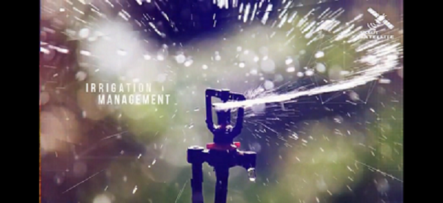
Irrigation Management
The water outflow and monitoring of nearby agricultural lands to avoid over-irrigation and subsequent soil erosion based on data gathered from contour mapping.
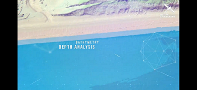
Bathymetry Depth Analysis
Mapping the depths of water in the reservoir to facilitate sediment collection or manual maintenance manoeuvres.